ما هو الاستشعار عن بعد؟
ان الاستكمال بين نظام المعلومات الجغرافية وبين الاستشعار عن بعد قد أصبح واسعا بحيث أن غالبية الاعمال التي تنجر عن طريق هذا النظام لا تتم الا بوجود المرئيات الفضائية وغيرها من الملتقطات الاخرى، وبخاصة الاعمال التي تعتمد على التحليل الصوري، والطيفي، مما يهتم بفيزيائية الارض وخصائصها الطبيعية، والتغييرات التي تطرأ عليها خلال الاعوام. وهكذا أصبحت الزراعة الذكية أكثر اعتمادا على هذه التحاليل، وكذلك العوامل البيئية والتغييرات المناخية.


What is Remote Sensing RS?
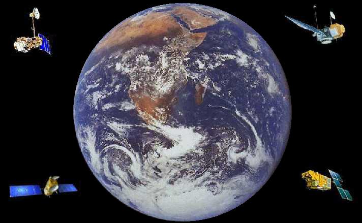
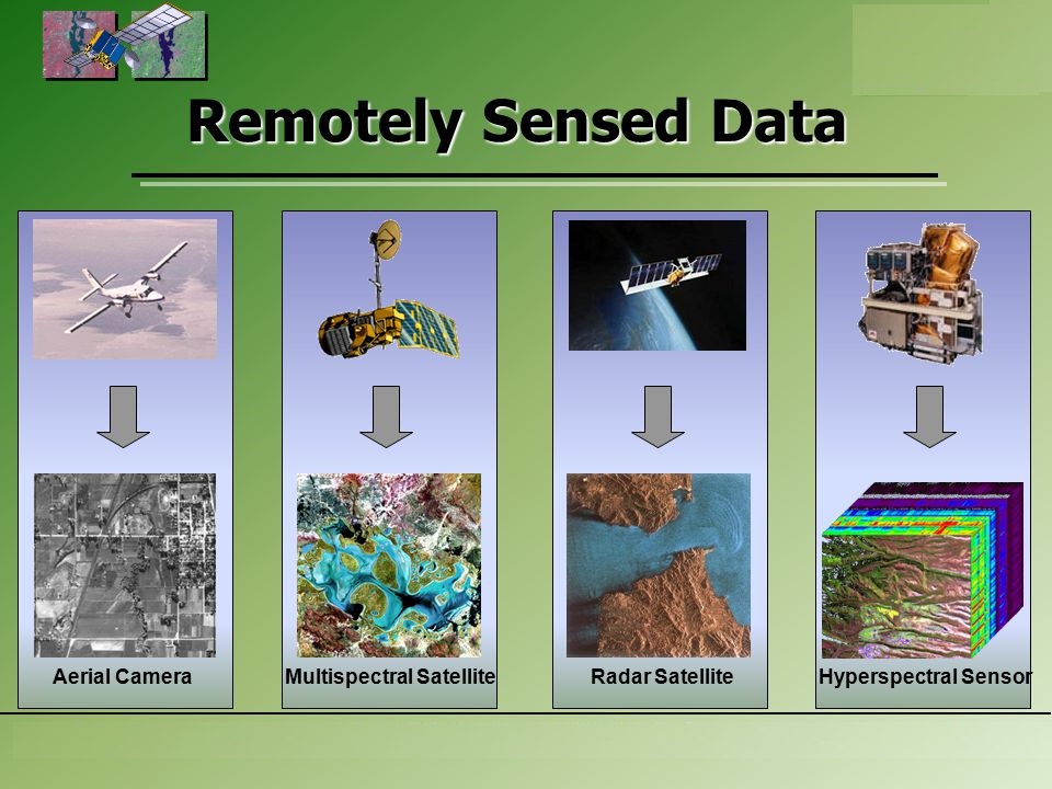
Remote Sensing RS: is a Spatial Technology that deals with the processing of remotely detecting and monitoring the physical like color and radiation characteristics of an area by measuring its reflected and emitted radiation at a remote distance from the targeted area. Special cameras collect remotely sensed images for the Earth surface, which help technical researchers “sense” things about the Earth. And analyze these characteristics. Remote Sensing was widy integrated recently with huge areas of science especially with GIS, Space, and Urban and Regional Planning.
Below are Some examples are:
- Cameras on satellites and airplanes take images of large areas on the Earth’s surface, allowing us to see much more than we can standing on the ground.
- Sonar systems on ships can be used to create images of the ocean floor without needing to travel to the bottom of the ocean.
- Cameras on satellites can be used to make images of temperature changes in the oceans.
Some specific uses of remotely sensed images of the Earth include:
- Large forest fires can be mapped from space, allowing rangers to see a much larger area than from the ground.
- Tracking clouds to help predict the weather or watch erupting volcanos, and help watch for dust storms.
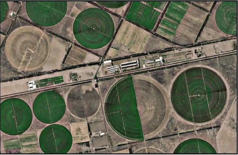
- Tracking the growth of a city and changes in farmland or forests over several years or even decades.
- Mapping the ocean bottom – Discovery and mapping of the rugged topography of the ocean floor (e.g., huge mountain ranges, deep canyons, and the “magnetic striping” on the ocean floor).

Mapping, Remote Sensing, and Geospatial Data. What is remote sensing and what is it used for? Remote sensing is the process of detecting and monitoring the physical characteristics of an area by measuring its reflected and emitted radiation at a distance typically from satellite or aircraft.